
Boderne Beach
A sheltered bay at the mouth of the Læså
Sheltered sandy beach between Dueodde and Rønne with a small harbour, café and the Stærmose outlet. This is where the Læså, Bornholm's longest river, meets the Baltic.
Contents
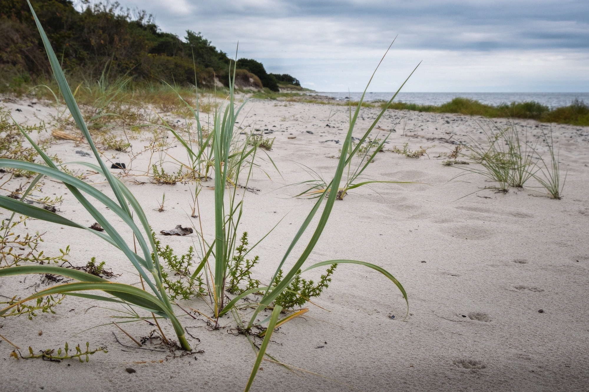
Boderne lies on Bornholm's south coast, roughly halfway between Dueodde and Rønne (address: Boderne, 3720 Aakirkeby). The narrow sandy beach runs along a steep, grass-covered dune shore that curves around a long bay. The hills inland block the northerly wind, so a pleasant swim is possible even in changeable weather. With certain wind directions, though, a strong swell can build up, and less confident swimmers and children are better off staying close to shore.
Swimming and the beach
The fine sand is good for sunbathing and building sandcastles, and the beach rarely feels crowded, as visitors spread out along the length of the bay. Swimming conditions are good; you can jump in from the large boulders near the water by the harbour. Take care at low tide, when a few rocks sit just below the surface.
The granite boulders in the shallows are a classic feature of Bornholm's south coast and make the beach fun for children too. If you're after the island's finest sand, you'll find it further east at Dueodde Beach; in between lies Sømarken Beach with its fishing hamlets.
Harbour, café and the Stærmose outlet
The beach begins at Boderne's small boat harbour, which gives the place a quiet, unpolished feel. At the beach itself there's parking, toilets, an ice cream stall and a café serving sandwiches, both open only in the summer season. At the harbour you'll also find a restaurant and the Stærmose fashion outlet.
Stærmose is considered Bornholm's largest fashion outlet and occupies a row of old half-timbered houses right in Boderne. According to its own website, the shop is open daily from 10:00 to 18:00 (Destination Bornholm gives 10:00 to 16:00). For more shopping options across the island, see our shopping guide.
Where the Læså meets the sea, and the Læsåstien trail
This is where the Læså, at around 20 kilometres, Bornholm's longest river, flows into the Baltic. Children like to build small dams at the river mouth. A waymarked trail, the Læsåstien, follows the river for about 20 kilometres from the mouth here to its source at Bastemose in the Almindingen forest, running through a scenic river valley.
The riverbed has been a protected site since 1977, chiefly to preserve the exposed geological rock layers; the local authority (Bornholms Regionskommune) and private landowners share responsibility for it. Cutting into the rock layers is forbidden, though loose pieces may be taken away. If you'd rather explore the island by bike, our cycling guide has route suggestions.
Raghammer Odde, the firing range at the eastern end
At the eastern end of the beach, on the Raghammer Odde headland, lies the Raghammer Skydeterræn military firing range. This stretch is closed during exercises, though Destination Bornholm notes it is rarely used in summer.
The warning system is worth knowing: a tall mast at the point carries a red ball. When the ball is hoisted, the whole range is closed, entering it is dangerous and prohibited. If no ball is flying, you can pass through. When it's closed, a signposted detour leads around the firing range to Boderne.

Getting there and practicalities
Boderne is reached via the access road to the beach and harbour; there's a car park at the harbour, and access to the beach itself is free. The village isn't part of the island's paid parking zones, though free parking isn't officially confirmed, so check the signage on site if in doubt. The nearest larger town is Aakirkeby inland, which also gives easy access to the NaturBornholm nature centre.
Boderne is also the western end point of stage 6 of the Kyststien coastal path, from Snogebæk to Boderne. This roughly 20-kilometre stretch (5-6 hours, easy to moderate) runs mostly along the beach, is marked with Kyststien signs, and passes through the Raghammer firing range as well as Dueodde beach and lighthouse. Toilets are available at several points along the way. For an overview of all the island's swimming spots, see our hub page on Bornholm's beaches.
Frequently asked questions
Is Boderne Beach free to visit? +
Is Boderne good for swimming? +
What does the red ball at Raghammer Odde mean? +
Where does the trail along the Læså lead? +
Nearby
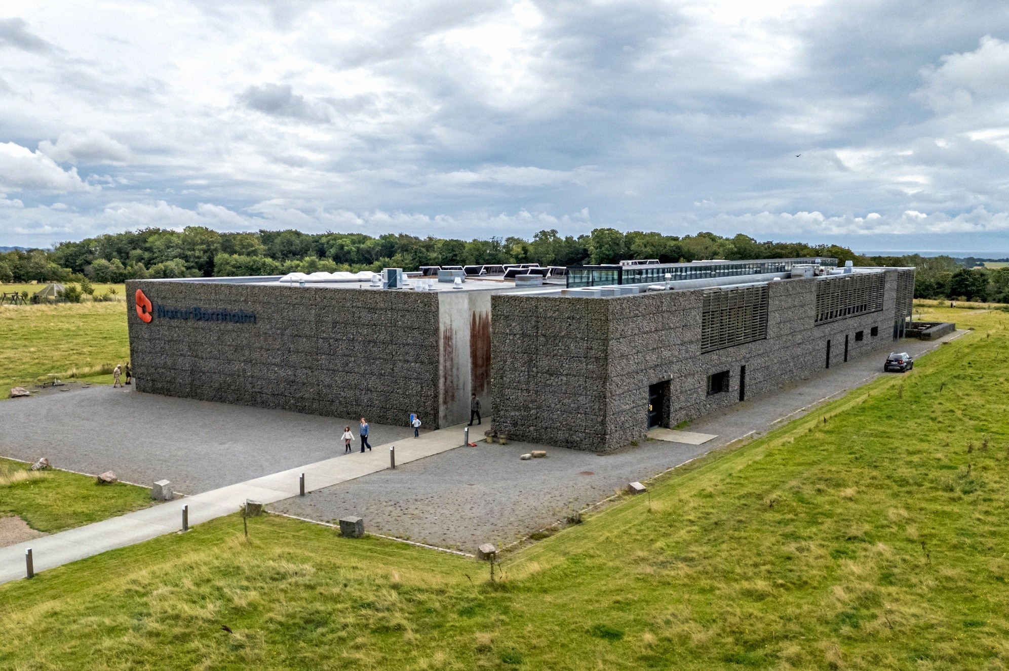
NaturBornholm
NaturBornholm in Aakirkeby takes you on a journey through 1.7 billion years of Earth history, with a time machine, dinosaurs, live crocodiles and Henning Larsen architecture.
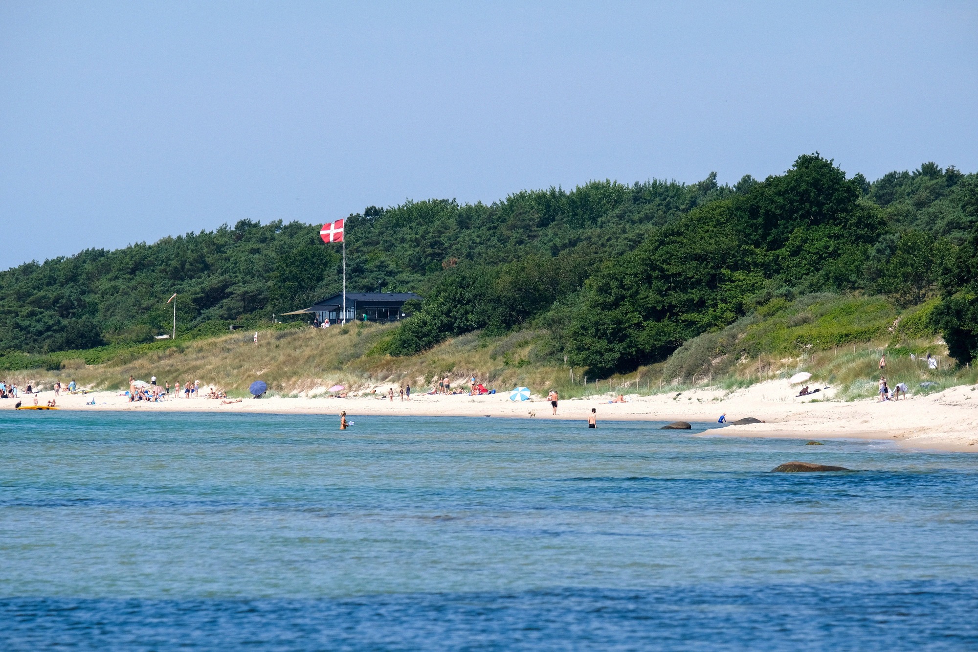
Sømarken Beach
Sandy south-coast beach on Bornholm with boulders to jump from, the fishing hamlet Østre Sømarken, Bakkarøgeriet smokehouse and Michelin restaurant Kadeau.
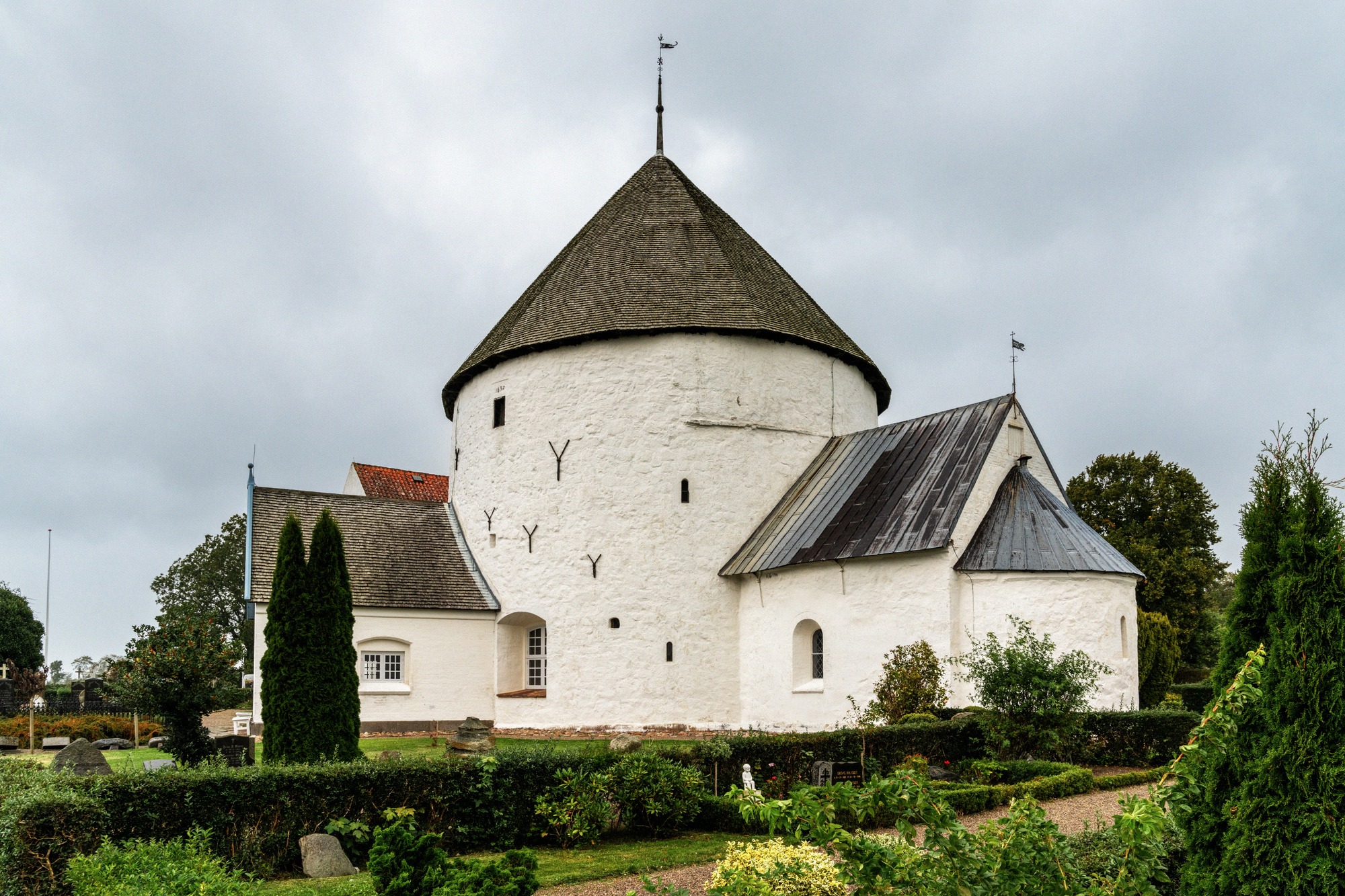
Nylars Round Church
Built in 1165, Nylars is Bornholm's best-preserved round church, with Creation frescoes from around 1275 and free admission, just 8 km from Rønne.
Dueodde Lighthouse
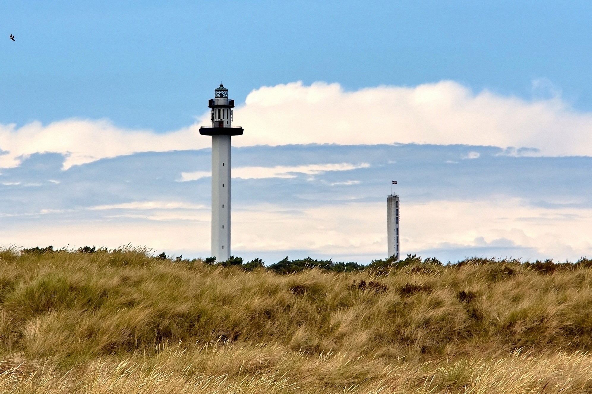
At 47 metres, the 1962 Dueodde Lighthouse is Denmark's tallest, and the only one on Bornholm you can climb. 196 steps lead to a platform above the island's finest sand.
Dueodde Beach
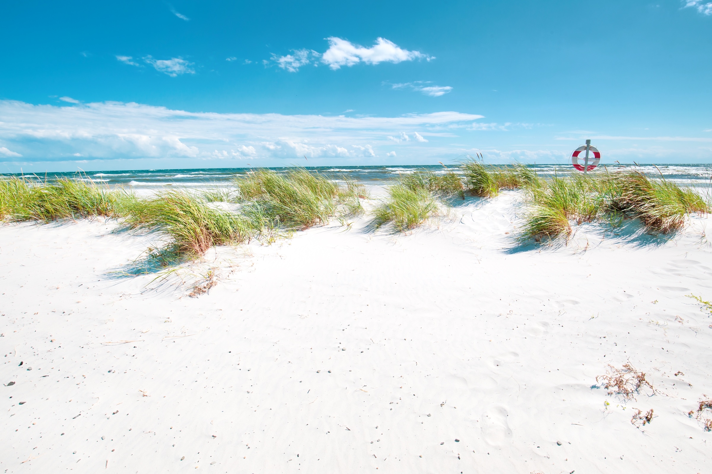
Dueodde on Bornholm's southern tip is famed for powder-fine white sand and shallow Baltic waters, often ranked among Denmark's finest beaches.
Balka Beach
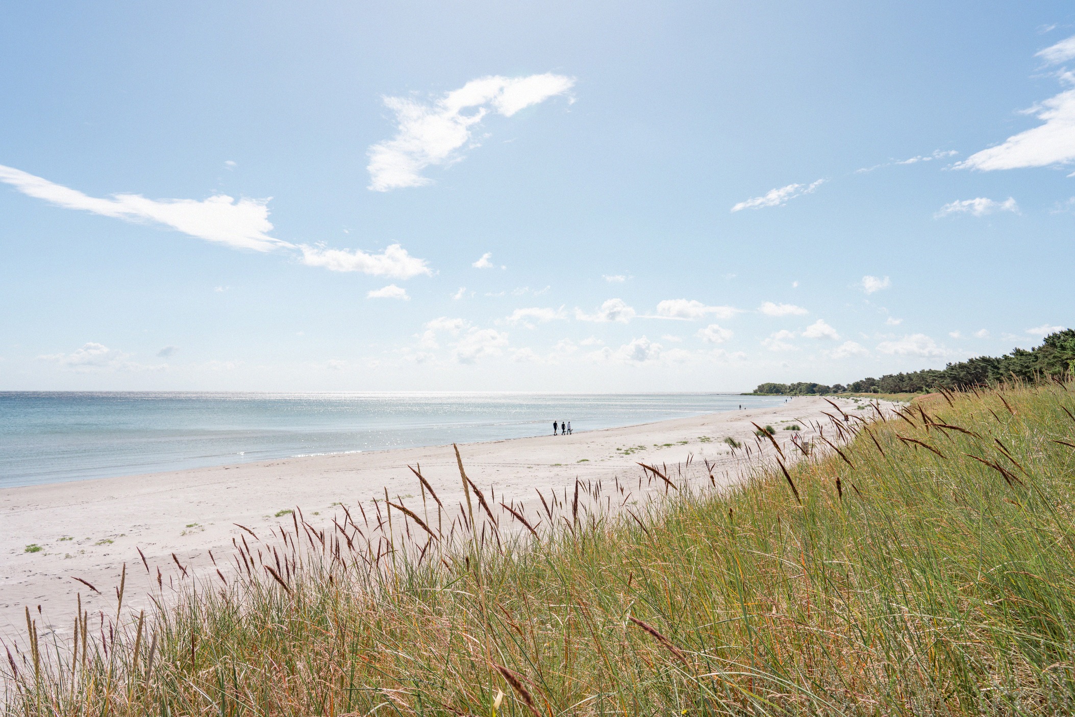
Shallow crescent bay south of Nexø with fine sand, step-free access and a watersports centre. Arguably Bornholm's most family-friendly beach.